Regional Green Infrastructure and the Wildland-Urban Interface
APA is working with the U.S. Forest Service (USFS) to develop an understanding of regional green infrastructure planning at the landscape scale and the associated needs and opportunities. A key component of this is addressing the special considerations of the wildland-urban interface (WUI), or the area where human development borders or intermingles with forests or other wildlands.
Project Overview
Increasingly, the USFS is working collaboratively at the landscape scale to promote forest health and ensure continued and equitable access to the many benefits forests provide, including clean air and water, biodiversity, and habitat, as well as connections to nature and benefits for human health. It is also working to address challenges, such as the risks that wildfires pose, particularly in the WUI.
Planning that results in an interconnected system of parks, streams, forests, and urban forests, along with trails, sidewalks, and other pedestrian improvements, can help ensure these benefits are realized. For communities in the WUI, proactively addressing wildfire and other hazard risks through plans, land-use and development regulations, and public investments can help mitigate these risks.
In the initial phase of this work, APA convened a conversation around the opportunities and needs surrounding regional green infrastructure planning at the landscape scale. This included a baseline assessment of regional green infrastructure planning and resources, identifying where gaps exist, and a "green paper" that addresses both the need and opportunity for regional green infrastructure on the landscape scale.
In the next phase of this work, APA focused on addressing multihazard risk in the WUI and created a planning framework and accompanying audit tool for communities in the WUI to help address the range of natural hazards they may face.
Future phases will include a 2019 PAS Report on planning for the WUI and application of the planning framework and audit through a Community Planning Assistance Team.
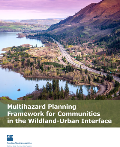
Multihazard Planning for Communities in the Wildland-Urban Interface
The Multihazard Planning Framework for Communities in the Wildland-Urban Interface lays out a comprehensive framework that:
- addresses risk from wildfire and other hazards;
- encompasses scales from site to neighborhood, community, and region; and
- identifies a range of planning interventions that can be used to reduce risk and maximize the benefits that forests provide across the scales of concern.
It includes a planning systems audit tool, which can be used by regions and the communities within them to identify strengths, gaps, and potential areas for improvement in the jurisdiction's planning system (plans, codes, and public investment and other programs) as they relate to multihazard risk.
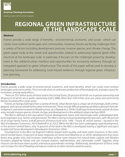
Regional Green Infrastructure at the Landscape Scale
Forests provide a wide range of benefits — environmental, economic, and social — which can create more resilient landscapes and communities. However, forests are facing challenges from a variety of factors, including development pressure, invasive species, and climate change.
This green paper looks at the needs and opportunities related to addressing regional green infrastructure at the landscape scale. In particular, it focuses on the challenges posed by development in the wildland-urban interface and opportunities for increasing resilience through an integrated approach to green infrastructure.
Acknowledgements
This project is made possible by a grant from the USFS to APA.


